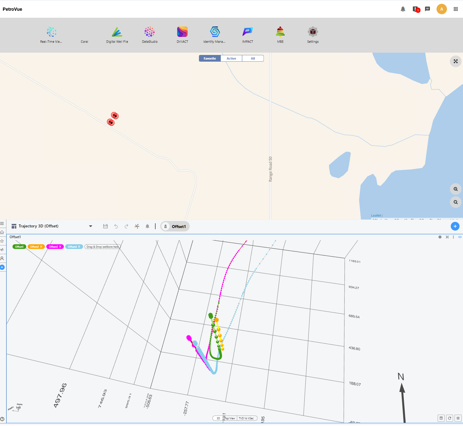
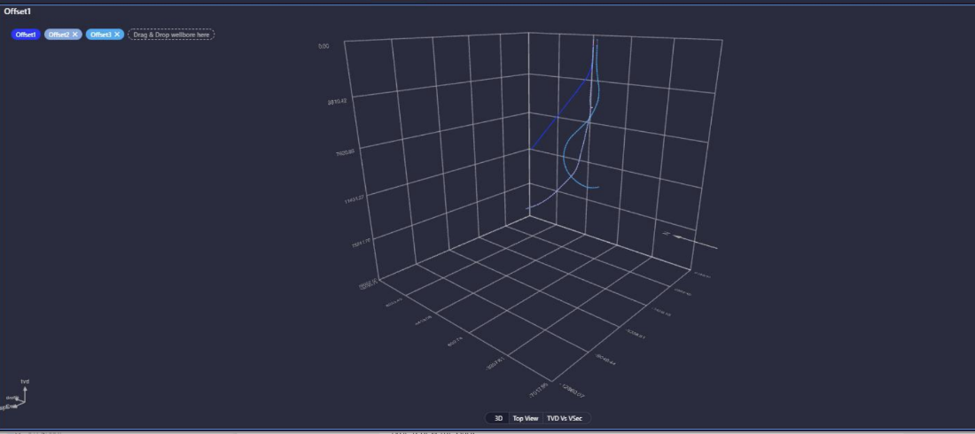
Applications which produce 3D trajectory displays have been around for a long time and are routinely used as important tools to safely plot a path to the pay zone. Since we launched PetroVue last year our product team has been working on improvements to our trajectory tool and we are excited to share the latest features.
Going off-plan
Operators large and small face a growing list of challenges when planning new wells. Many assets particularly in mature basins have been on the books for several years and during that time tens if not hundreds of wells have been drilled. Add in large-scale asset acquisitions and the number of wells and associated survey data can become unmanageable.
This has resulted in a tangle of close proximity wells in the kick-off zones just beneath the platform or well pad which are notoriously difficult to navigate around. The greatest concern is for a catastrophic collision, but equally problematic is the risk of bypassing reservoir pay. Directional drillers need to constantly adjust often having to build angle significantly to stay within the drilling window.
We have upgraded PetroVue’s trajectory display to tackle these challenges.
By deploying it at the rig the drillers and geologists working in tandem with the directional driller can look at the same real-time survey data and compare it to planned data as the well progresses.

Extended reach
With HP/HT and extended reach wells becoming the norm in many fields, the challenges for drilling teams are only growing. To address this trend, we have added an option to add offset wells which means no wells are out of the picture.
We understand that the rig site and office have different workflows. One of the biggest areas of disparity is around trajectory applications. In the office there will be sophisticated software packages which boast and array of powerful capabilities. While at the rig site often only the Directional Driller has a direct view of the well path in real-time – the Drilling Superintendent and the Geologists may be reliant on just an azimuth and inclination readout.
PetroVue means key people can quickly pull up a display of the well’s progress.
Features
- Multiple trajectory objects – compare plan vs actual
- Top View
- 3D view
- Section view
- Station and line color configuration
- Communication with other widgets for easy correlation
- Offset mode

Pre-drill models, geo-models, and planned trajectory outlines – a whole lot of work goes on before the drill-bit begins spinning. Don’t let insights from the planning slip away at the operational phase. As well paths get evermore tortuous, PetroVue gets smarter – contact us to learn more about staying on-track.


